Atherton Tablelands self drive from Cairns
Go up one range and come down the other: Atherton is 80 km and 1 hour 15 minutes from Cairns via the Gillies Highway, or 93 km and 1 hour 30 minutes via the Kuranda Range. Check QLDTraffic for closures and roadworks before you leave. The Millaa Millaa waterfall circuit is a 16 to 17 km loop that most visitors finish in about two hours.
Updated
Key facts
- Cairns to Atherton
- 80 km, 1 hour 15 minutes via the Gillies Highway; 93 km, 1 hour 30 minutes via the Kuranda Range
- Cairns to Kuranda
- 27 km, 30 minutes via the Kuranda Range
- Two ways up from Cairns
- The Kuranda Range road at Smithfield and the Gillies Highway at Gordonvale
- Closures and roadworks
- QLDTraffic shows current closures, flooding and roadworks on state roads
- Waterfall circuit
- A 16 to 17 km loop near Millaa Millaa linking Millaa Millaa Falls, Zillie Falls and Ellinjaa Falls, about two hours without swimming
- Millaa Millaa from Cairns
- About 98 km from Cairns
Cairns to Millaa Millaa
About 98 km
Kuranda
27 km
30 minutes from Cairns via the Kuranda Range. Skyrail's Kuranda terminal has free street parking.
Atherton
80 km via the Gillies Highway, 93 km via the Kuranda Range
On the Tablelands; the Gillies Highway is the quicker of the two routes from Cairns.
Millaa Millaa Falls
Start of the waterfall circuit. Zillie Falls is 7.5 km on, and Ellinjaa Falls a further 3 km.
Zillie Falls
7.5 km from Millaa Millaa Falls
Short walk to a lookout above a steep gorge.
Ellinjaa Falls
A further 3 km
Track to the base and a natural swimming pool.
- Millaa Millaa
Kuranda Range road closures: is the road open?
Check QLDTraffic for closures, flooding and roadworks on state roads before you leave, especially after heavy rain. Because the Tablelands have two roads up from Cairns, you can go up one range and come back by the other if one is closed.
Cairns to Atherton Tablelands: which range should you take?
The Gillies Highway is the quicker route to Atherton at 80 km and 1 hour 15 minutes, with the Kuranda Range route at 93 km and 1 hour 30 minutes. The two gateways are Gordonvale for the Gillies and Smithfield for the Kuranda Range.
A sensible day loop goes up one range and returns by the other, so you see both roads and can avoid one if it has a closure that day.
Atherton Tablelands waterfall circuit
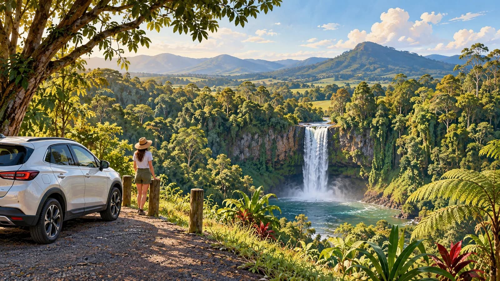
The circuit begins and ends at Millaa Millaa and links three waterfalls: Millaa Millaa Falls, Zillie Falls and Ellinjaa Falls. One tourism site gives the loop as 16 km and another as 17 km. Millaa Millaa is about 98 km from Cairns, and Zillie Falls is 7.5 km from Millaa Millaa Falls with Ellinjaa Falls a further 3 km.
Most visitors take about two hours, longer with a swim. Swimming at Millaa Millaa Falls is best in the dry season. Weekday mornings are much quieter than weekend afternoons, and rocks near falls can be slippery.
Should you drive to Kuranda or take the train or Skyrail?
Kuranda is 27 km and 30 minutes from Cairns by the Kuranda Range. The alternative is the Skyrail and Kuranda Scenic Railway combination, which has a self-drive option: you park at Skyrail's Smithfield terminal, ride a bus to Freshwater station for the train up, then come back down on Skyrail to your car, or the reverse. Parking at Smithfield is free.
Driving lets you continue on to the Tablelands, while the combination returns you to the Skyrail terminal at Smithfield. Free street parking is available at Skyrail's Kuranda terminal.
Hire car terms for the Tablelands
The Hertz Australia terms, for example, list driving on unsealed roads (except roads under repair and access roads to recognised camping or accommodation grounds) among the situations they single out, so check your own agreement before taking side roads to falls or lookouts.
Pick up at Cairns Airport for the loop. Return the car to the same depot unless the agreement allows a one-way drop.
Compare cars at Cairns Airport
Prices are shown in Australian dollars. Check the pickup point and what the agreement allows on the roads in this guide before you book.
Preparing live car hire search
Where to pick up for this trip
Questions people ask
How far is Cairns to Atherton?
80 km and 1 hour 15 minutes via the Gillies Highway, or 93 km and 1 hour 30 minutes via the Kuranda Range.
How long does it take to drive from Cairns to Kuranda?
About 30 minutes for 27 km via the Kuranda Range.
Is the Kuranda Range road closed?
Check QLDTraffic for current closures and roadworks before you leave. You can also use the Gillies Highway to reach the Tablelands.
How long is the Atherton Tablelands waterfall circuit?
It is a loop of about 16 to 17 km near Millaa Millaa with three waterfalls, and most visitors take about two hours.
How do you get from Cairns to the Atherton Tablelands?
There are two roads up: the Kuranda Range from Smithfield and the Gillies Highway from Gordonvale.